GIST 330 – Introduction to Remote Sensing
Introduction to Remote Sensing is a course designed to introduce students to the field of remote sensing. This course will cover a broad range of remote sensing topics including theory, multiple platforms and sensors, data acquisition, analysis, and applications. The multidisciplinary and far-ranging nature of remote sensing means that it has applicability across the physical and social sciences. Therefore, we cannot cover all the principles, techniques, and applications of remote sensing in depth during one semester. However, the course will provide a detailed overview and give students the background and training needed to understand and utilize aerial photography and satellite image data and be prepared for more advanced work in image analysis and digital image processing across a variety of terrestrial applications.
GEOG/RNR/GIST 483/583 – Geographic Applications of Remote Sensing
Geographic Applications of Remote Sensing is an advanced remote sensing course designed to evaluate the use of airborne and satellite data to monitor and assess land cover and land-use. The focus of the course will be on the application of remote sensing technologies and techniques to problems in resource management, environmental monitoring, and land cover and land use dynamics and change. Lectures, literature reviews, digital image processing and analysis of remote sensing data, and a term project will provide the opportunity to survey the current capabilities and limitations of remote sensing techniques as applied in geography, earth systems science, the environment and natural resource management.
REM/RNR/GEOG 490/590 – Remote Sensing for the Study of Planet Earth
Remote Sensing for the Study of Planet Earth introduces basic and applied remote sensing science as a means to explore the diversity of our planetary environments (biosphere, atmosphere, lithosphere and hydrosphere) within the radiometric, spectral, spatial, angular and temporal domains of remote sensing systems. This survey course strikes a balance between theory, applications and hands-on labs and assignments. We explore how you can download, process, analyze and interpret multi-sensor data and integrate online remotely sensed data sources/products into your research of interest.
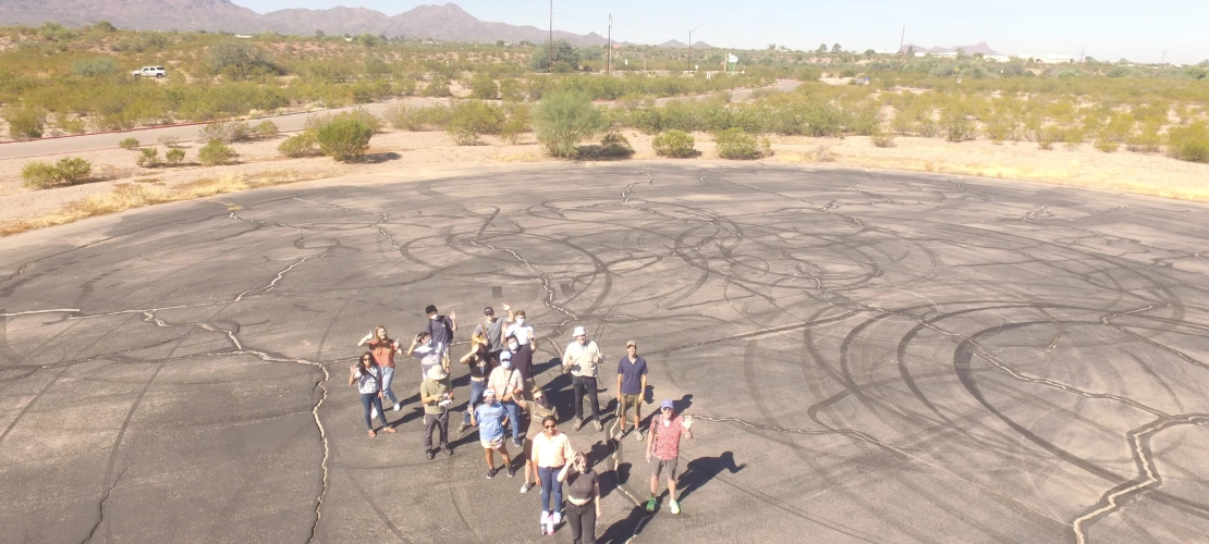
RNR/GOEG 422/522 – Resource Mapping using Unmanned Aircraft Systems
Landscapes around the world are going through extraordinary land use and land cover changes. Unmanned aerial systems (UASs) can provide unprecedented, detailed data and information that complements traditional monitoring systems used by land managers and decision makers. Many kinds of remote sensors onboard UASs are now available to monitor landscape indicators in 2-D and 3-D to inform land use and land cover change. Landscape indicators and assessments with UAV sensors can monitor the geography of species diversity, soil erosion features, tree density, crops, snowpack, wildlife and aquatic habitat, urban environments, archaeological sites, and industrial sites.


